Skip to content
Outdoormap Greenland

The right map for your next trip

Start with a map that covers your plans. Here is how to choose it and get it ready for offline use.

Start here

Install Cartograph first

Our maps open in the Cartograph app. Before downloading a map, follow our app guide to install Cartograph, activate PRO and prepare the app. Then return here to choose your map.

Go to the app guide

Elevation detail

Two versions of each map

Elevation data describes the height of the land. Choose how much detail you need to understand the hills, valleys and slopes along your route.

High elevation detail

30 × 30 metres

Elevation data for every 30 × 30 metre patch of land gives you a finer picture of the terrain. This version is especially useful for planning trips, treks and routes through rugged, varied terrain.

High-detail maps need much more storage space on your device.
Low elevation detail

90 × 90 metres

Elevation data for every 90 × 90 metre patch of land gives you a broader picture of the terrain. Choose this version when saving storage space matters more than seeing fine changes in elevation.

Low-detail maps need less storage space for the same area.

The distances above describe the spacing of elevation data across the ground. They do not describe the accuracy of the height readings or your device’s GPS position.

Map coverage

Small areas and large areas

Choose the coverage separately from the elevation detail. Check that your map includes the whole area you plan to explore.

Small-area maps
Cover a more focused area: a useful choice for a local outing or a trip in one part of Greenland.
Large-area maps
Cover a wider area: useful for longer journeys or plans that take you between several places. Check the install size before choosing.

Not tested, we do not know if it works.

Space on your device

Two sizes to check

For each map, we list both the download size and the install size. They tell you different things.

Download size
The amount of data you will transfer over your internet connection to download the map.
Install size
The amount of free storage space you need on your smartphone, tablet or computer to install that map. Check the available storage in your device’s settings before downloading.

Allow some extra free space while downloading and installing. Use a reliable connection and finish setting up your maps before you leave internet coverage.

Step by step

Download your map and set it up

Download each map you need, then complete the one-time setup below after your first download. The button names here match the English Cartograph interface.

  1. Open the map download in Cartograph

    On your device, choose your map and elevation-detail version, then select its download link. If your browser asks to open Cartograph Maps, choose “Open”. The map will download inside Cartograph.

  2. Let the download finish

    Keep your internet connection available until the download is complete and the map is unpacked and installed. This can take a while, especially for larger maps — 15 minutes, for example. Then tap “Close” on the download screens until you return to the map.

  3. Hide the default online map

    If you already did this in our app guide, continue to the next step. Otherwise, open the main menu, choose “Maps” and select the “Online” tab. Tap the blue eye next to “OpenStreetMap.org” so it becomes crossed out.

  4. Add the hill-shading layer

    In “Maps”, select the “Offline” tab. Tap the “+” button at the bottom right, then choose “Special offline maps”.

  5. Choose “Offline hillshader”

    Select “Offline hillshader” from the menu, then tap “Ok”. This adds a layer that uses the elevation data to shade the terrain, making hills and valleys easier to see.

  6. Show the layer with “Append”

    Tap the crossed-out eye beside “Offline hillshader”. In the “Load map in layer” screen, choose “Append”. This adds the shading above your map; choosing “Replace” would replace the selected map layer.

    The key step is “Append”: it keeps your map visible and adds the hill shading on top.

  7. Return to your map

    Tap “Close” until you are back at the map screen. You should now see your map with hill shading. This initial layer setup only needs to be done once.

  8. Check your map before heading out

    While you are still somewhere with internet access, briefly disconnect from the internet and open the area you plan to visit. Zoom in and check that the map is available offline.

Map downloads

Find your area

Choose your area and elevation detail, then open the download in Cartograph.

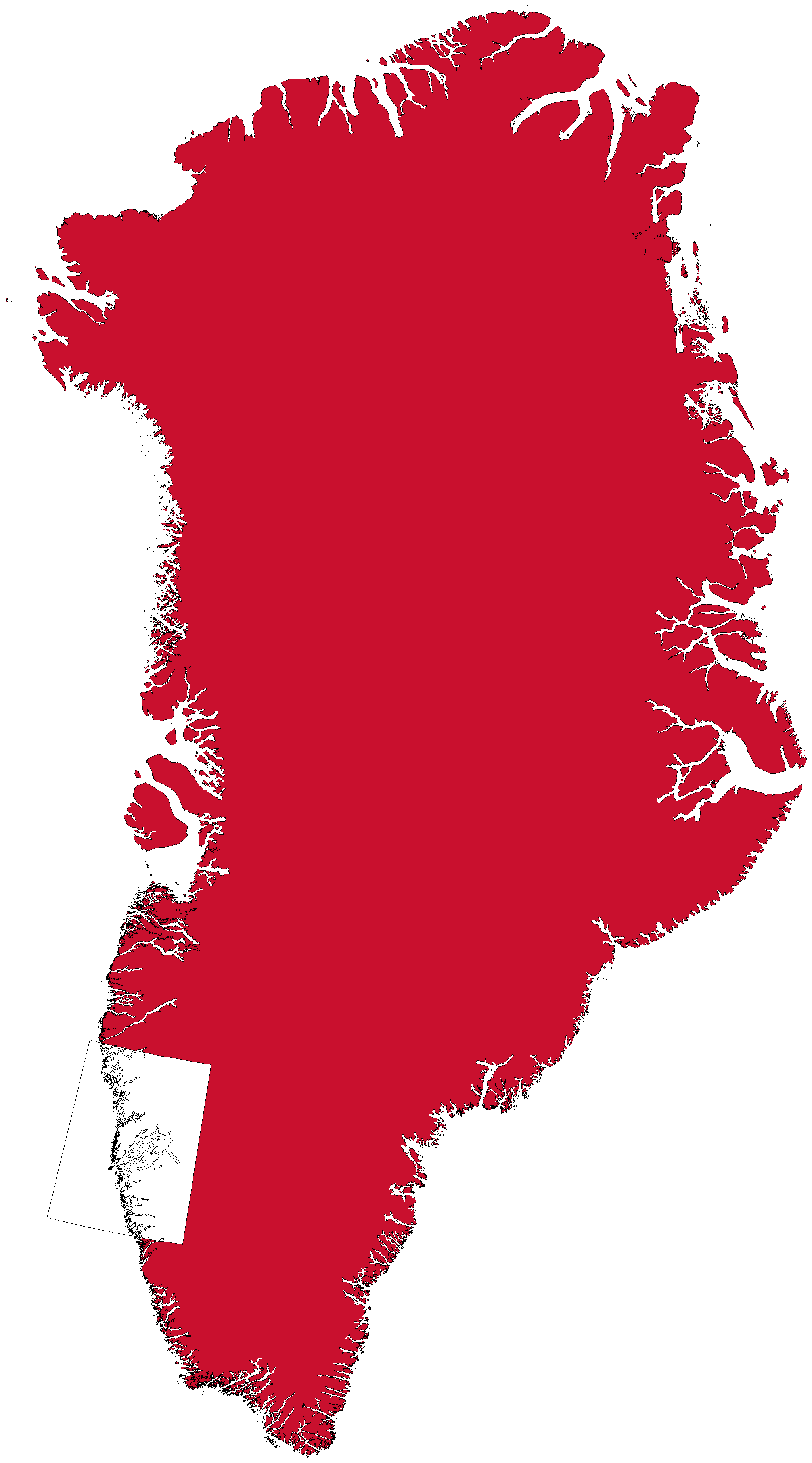
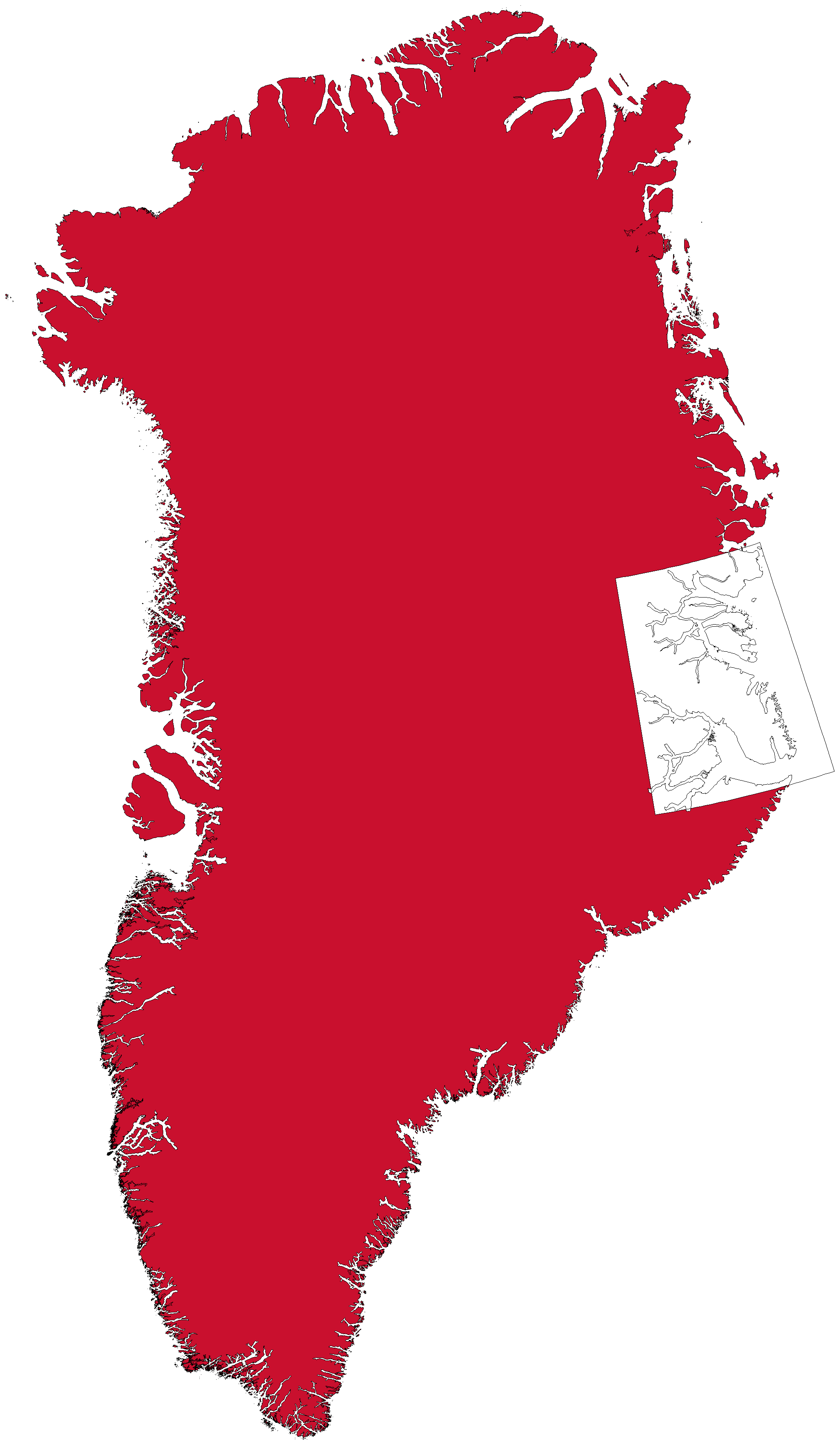
Map coverage: Disko Bay

Small-area maps

Disko Bay

High elevation detail 30×30m

Download size
138.3 MiB
Install size
609.8 MiB
Open in Cartograph

Low elevation detail 90×90m

Download size
75.1 MiB
Install size
148.1 MiB
Open in Cartograph
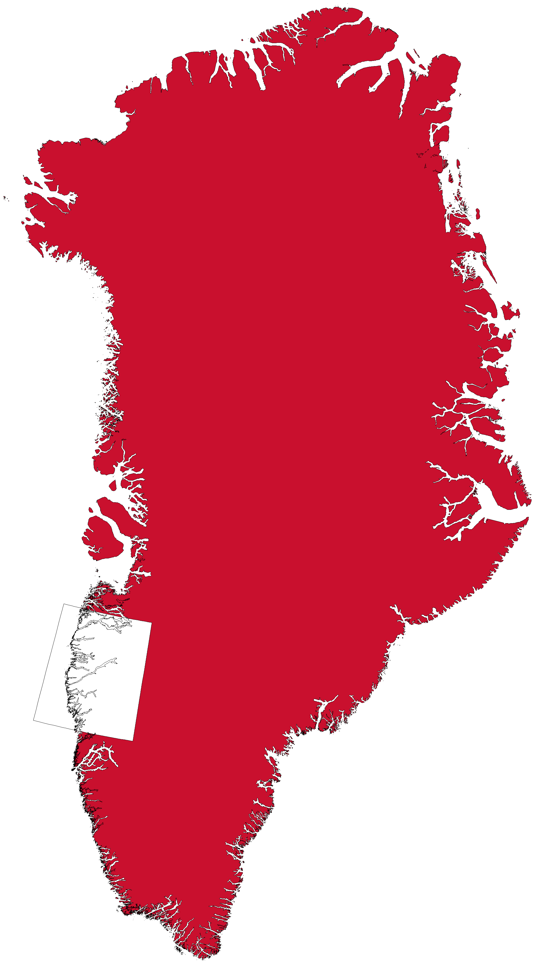
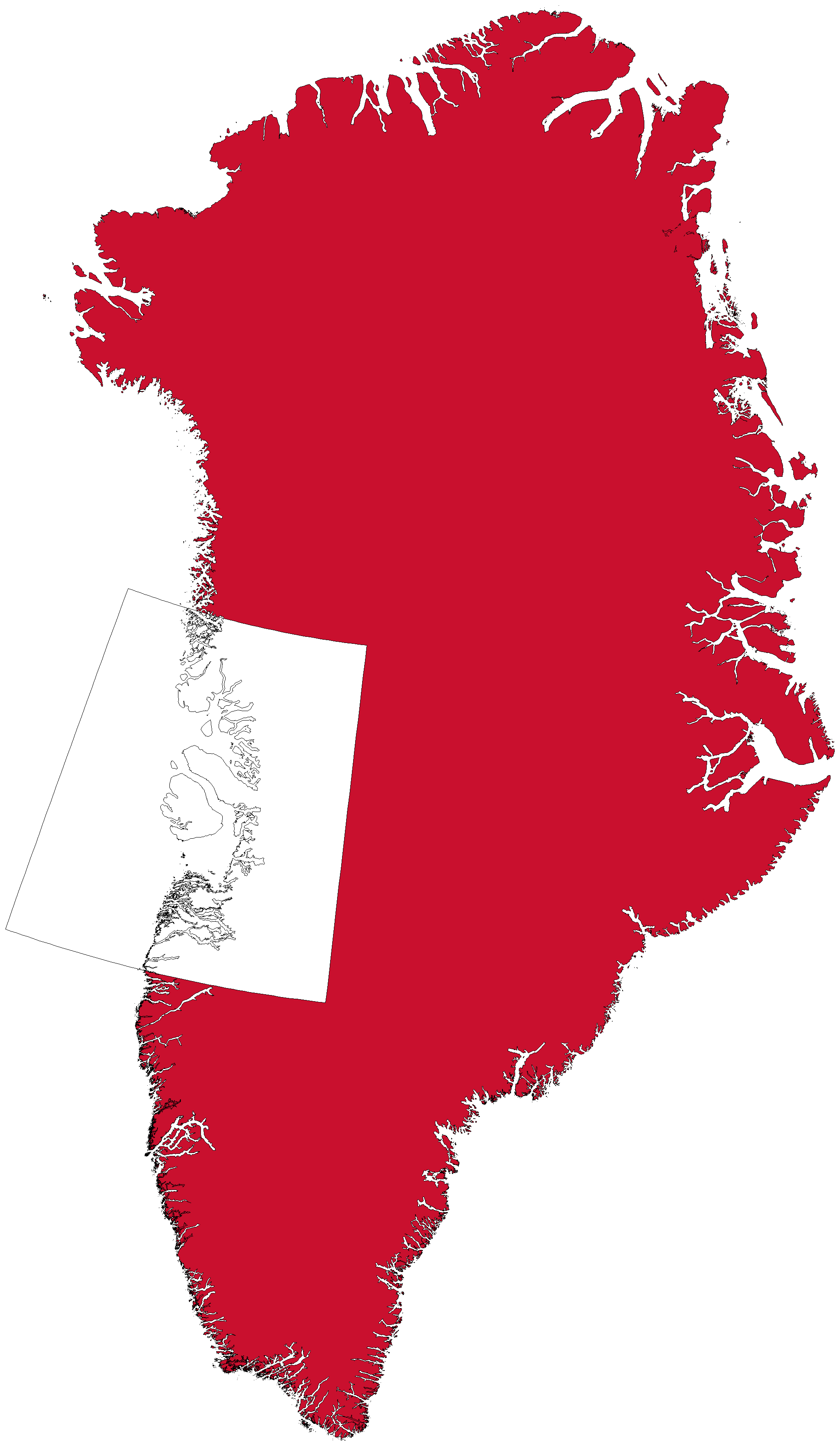
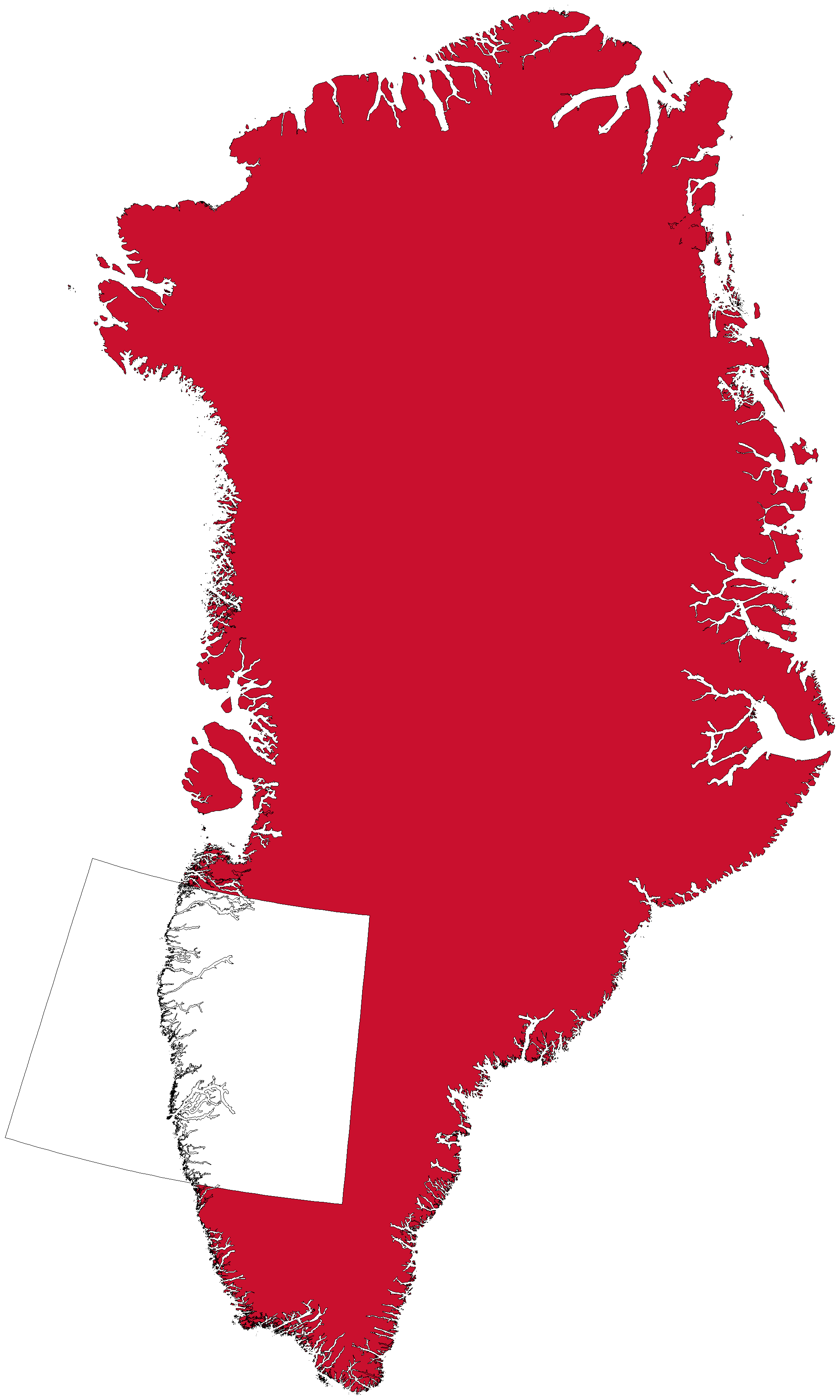
Map coverage: Nuuk

Small-area maps

Nuuk

High elevation detail 30×30m

Download size
138.3 MiB
Install size
462.4 MiB
Open in Cartograph

Low elevation detail 90×90m

Download size
79.1 MiB
Install size
132.7 MiB
Open in Cartograph
Map coverage: Arctic Circle Trail

Small-area maps

Arctic Circle Trail

High elevation detail 30×30m

Download size
179.5 MiB
Install size
561.2 MiB
Open in Cartograph

Low elevation detail 90×90m

Download size
101.9 MiB
Install size
165.5 MiB
Open in Cartograph
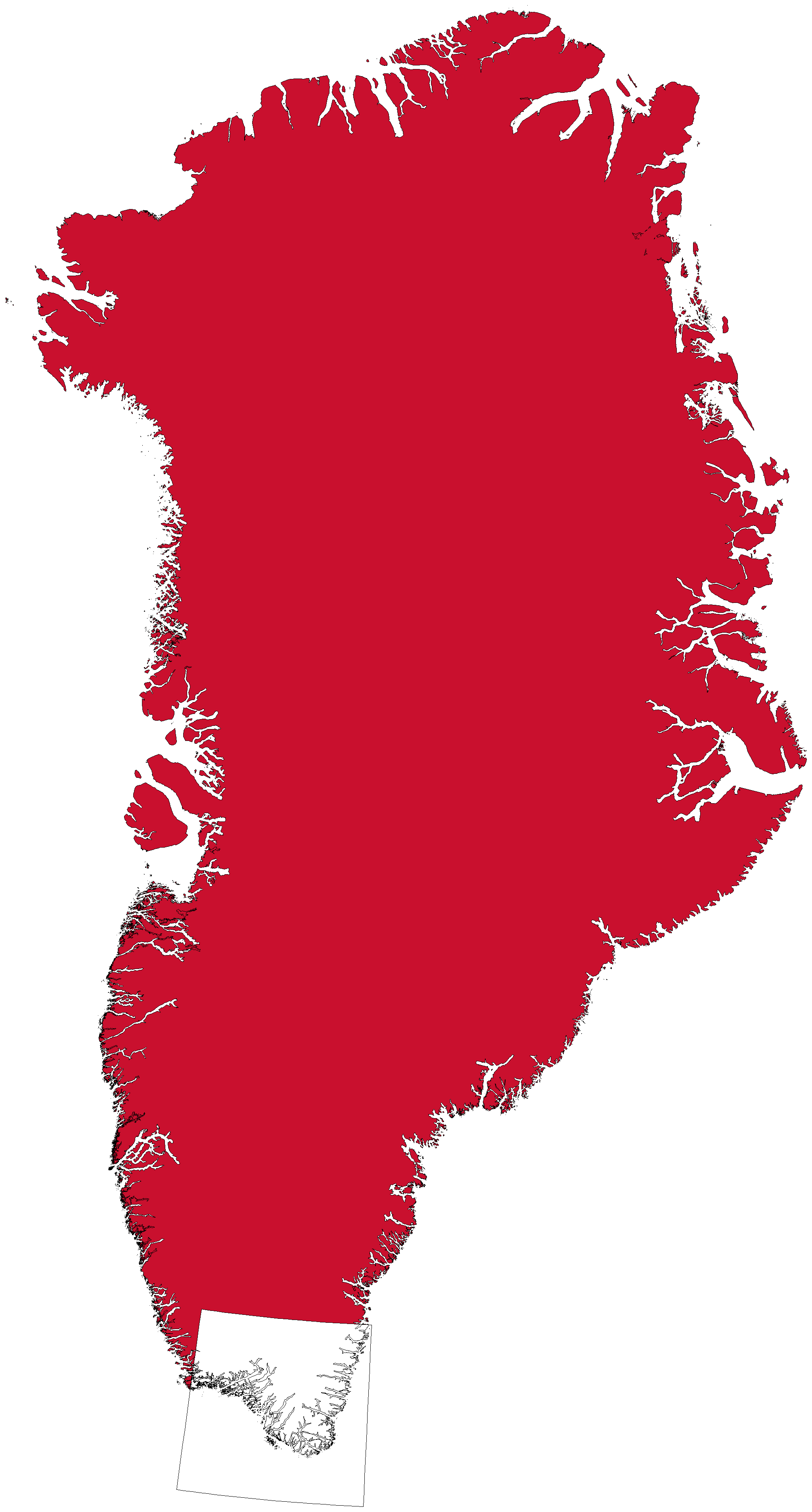
Map coverage: South Greenland Fjords

Small-area maps

South Greenland Fjords

High elevation detail 30×30m

Download size
119.1 MiB
Install size
522.6 MiB
Open in Cartograph

Low elevation detail 90×90m

Download size
65.6 MiB
Install size
127 MiB
Open in Cartograph
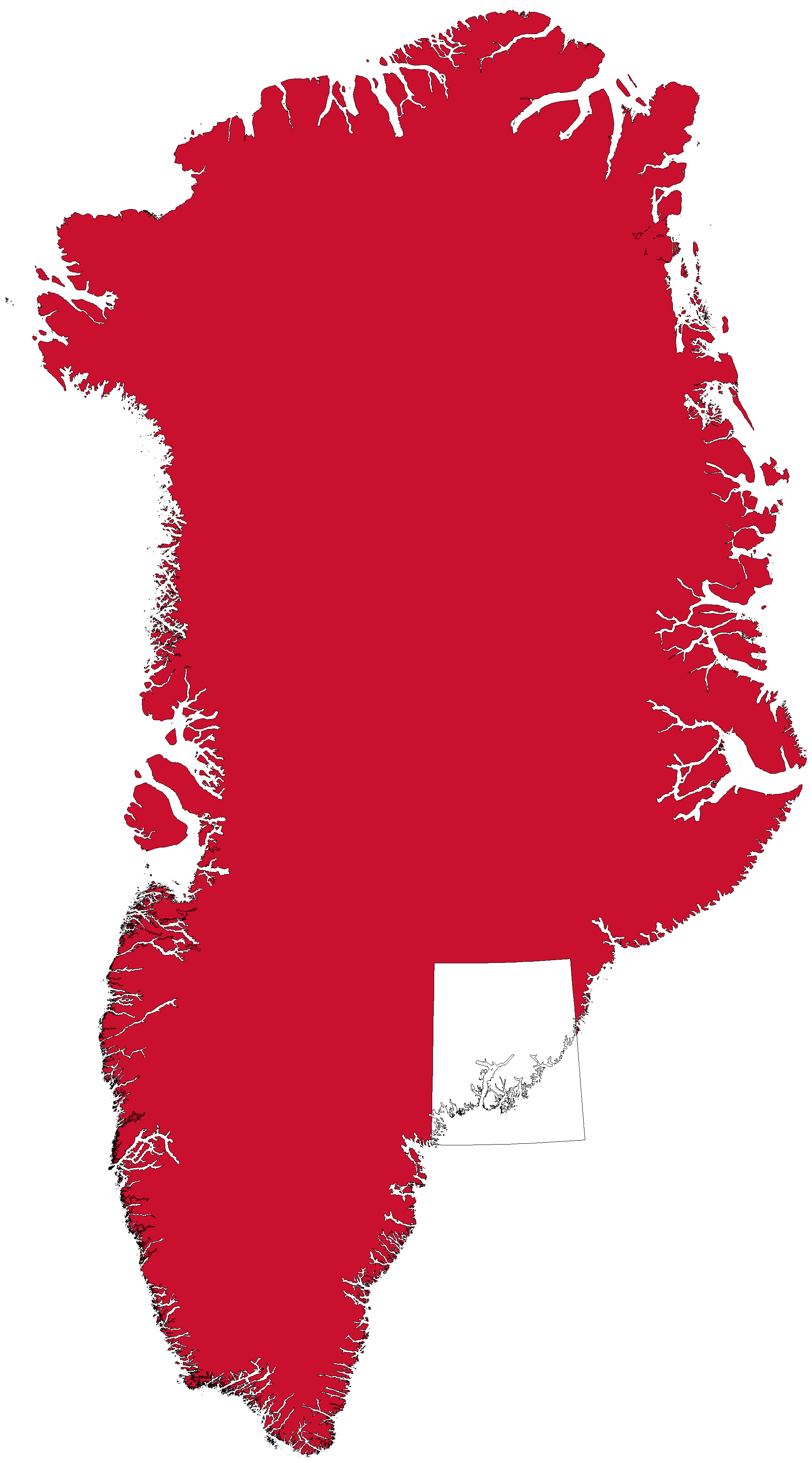
Map coverage: Tasiilaq Ammassalik

Small-area maps

Tasiilaq Ammassalik

High elevation detail 30×30m

Download size
102.7 MiB
Install size
510.1 MiB
Open in Cartograph

Low elevation detail 90×90m

Download size
53.4 MiB
Install size
114.4 MiB
Open in Cartograph
Map coverage: Scoresby Sund

Small-area maps

Scoresby Sund

High elevation detail 30×30m

Download size
351 MiB
Install size
1.1 GiB
Open in Cartograph

Low elevation detail 90×90m

Download size
175.5 MiB
Install size
296.1 MiB
Open in Cartograph
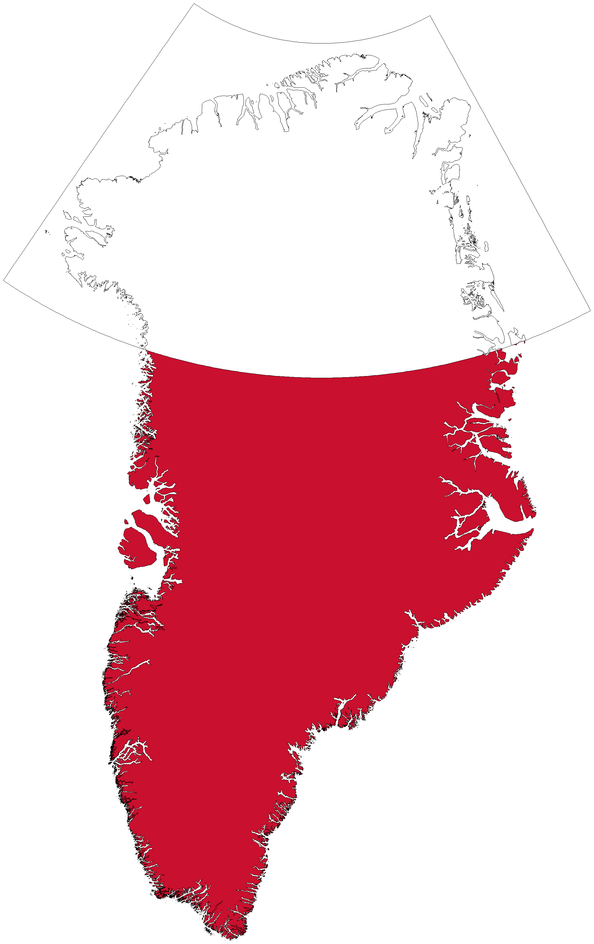
Map coverage: North Greenland

Large-area maps

North Greenland

Not tested, we do not know if it works.

High elevation detail 30×30m

Download size
1 GiB
Install size
15.2 GiB
Open in Cartograph

Low elevation detail 90×90m

Download size
500.2 MiB
Install size
2.8 GiB
Open in Cartograph
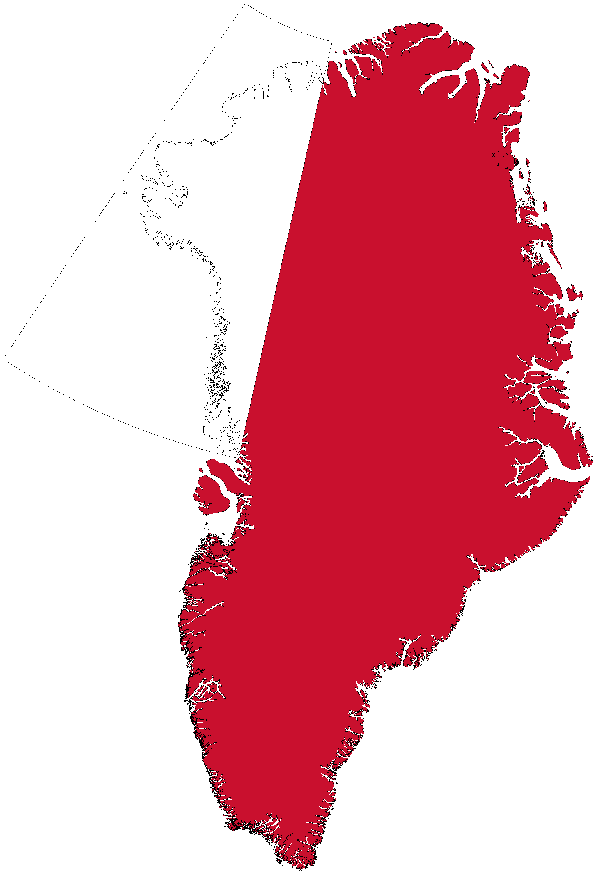
Map coverage: Northwest Greenland

Large-area maps

Northwest Greenland

Not tested, we do not know if it works.

High elevation detail 30×30m

Download size
404.6 MiB
Install size
6.8 GiB
Open in Cartograph

Low elevation detail 90×90m

Download size
198.4 MiB
Install size
1.2 GiB
Open in Cartograph
Map coverage: West Greenland

Large-area maps

West Greenland

Not tested, we do not know if it works.

High elevation detail 30×30m

Download size
320.4 MiB
Install size
2.2 GiB
Open in Cartograph

Low elevation detail 90×90m

Download size
162.5 MiB
Install size
448.2 MiB
Open in Cartograph
Map coverage: Greater Nuuk Area

Large-area maps

Greater Nuuk Area

Not tested, we do not know if it works.

High elevation detail 30×30m

Download size
290.3 MiB
Install size
1.8 GiB
Open in Cartograph

Low elevation detail 90×90m

Download size
156.1 MiB
Install size
374.4 MiB
Open in Cartograph
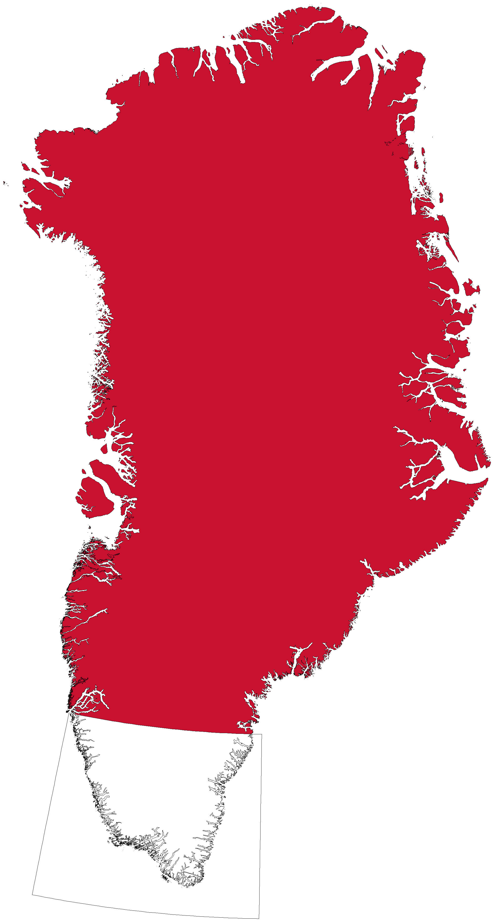
Map coverage: South Greenland

Large-area maps

South Greenland

Not tested, we do not know if it works.

High elevation detail 30×30m

Download size
272.4 MiB
Install size
1.6 GiB
Open in Cartograph

Low elevation detail 90×90m

Download size
145.1 MiB
Install size
344.5 MiB
Open in Cartograph
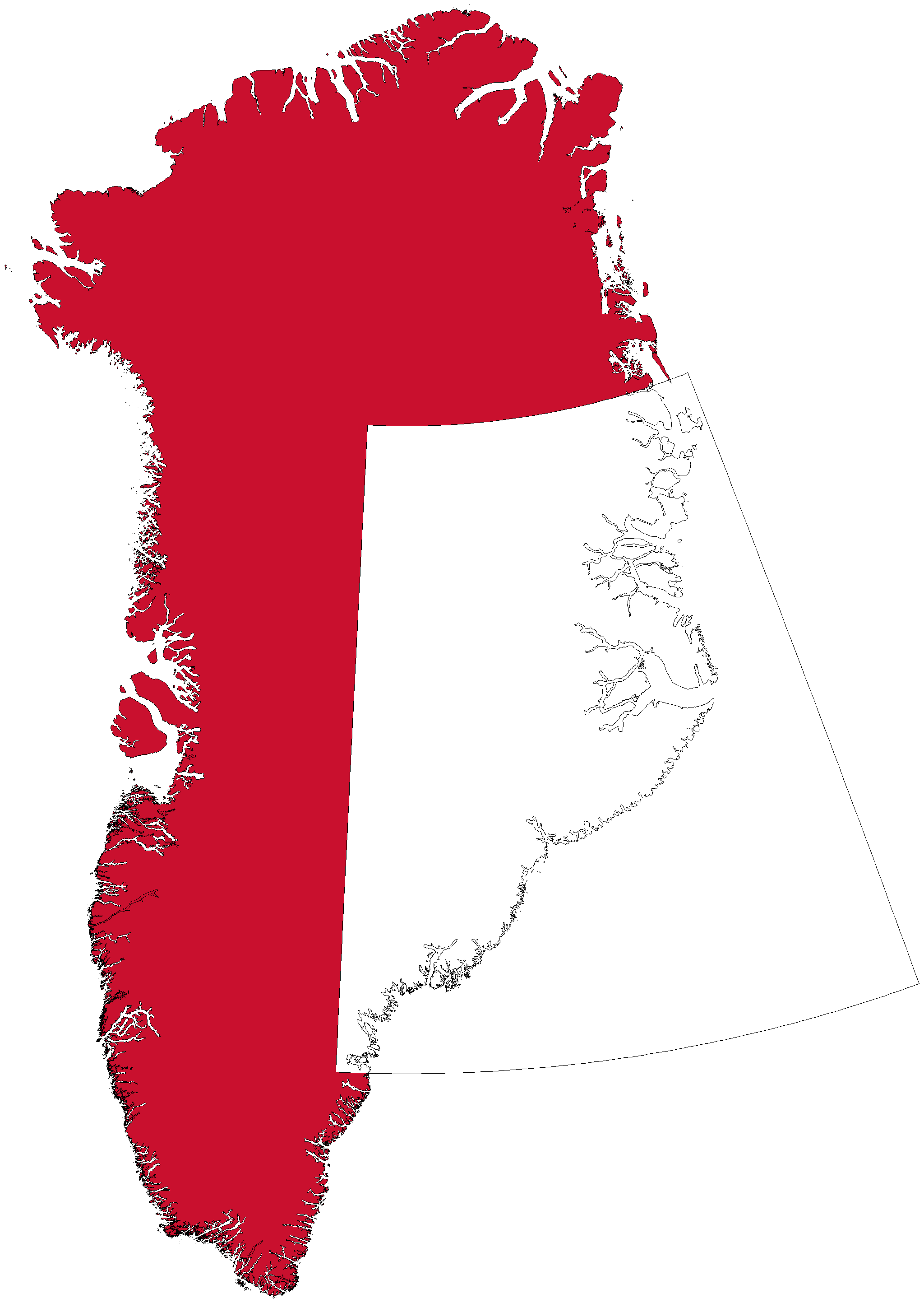
Map coverage: East Greenland

Large-area maps

East Greenland

Not tested, we do not know if it works.

High elevation detail 30×30m

Download size
864.9 MiB
Install size
7.8 GiB
Open in Cartograph

Low elevation detail 90×90m

Download size
405.5 MiB
Install size
1.4 GiB
Open in Cartograph
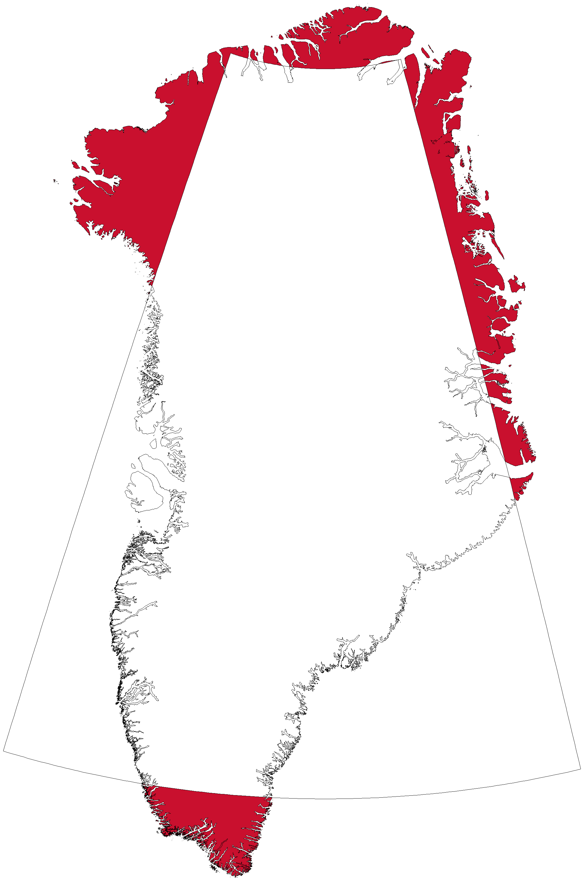
Map coverage: Ice Sheet

Large-area maps

Ice Sheet

Not tested, we do not know if it works.

High elevation detail 30×30m

Download size
1.7 GiB
Install size
17.7 GiB
Open in Cartograph

Low elevation detail 90×90m

Download size
785.8 MiB
Install size
3.1 GiB
Open in Cartograph